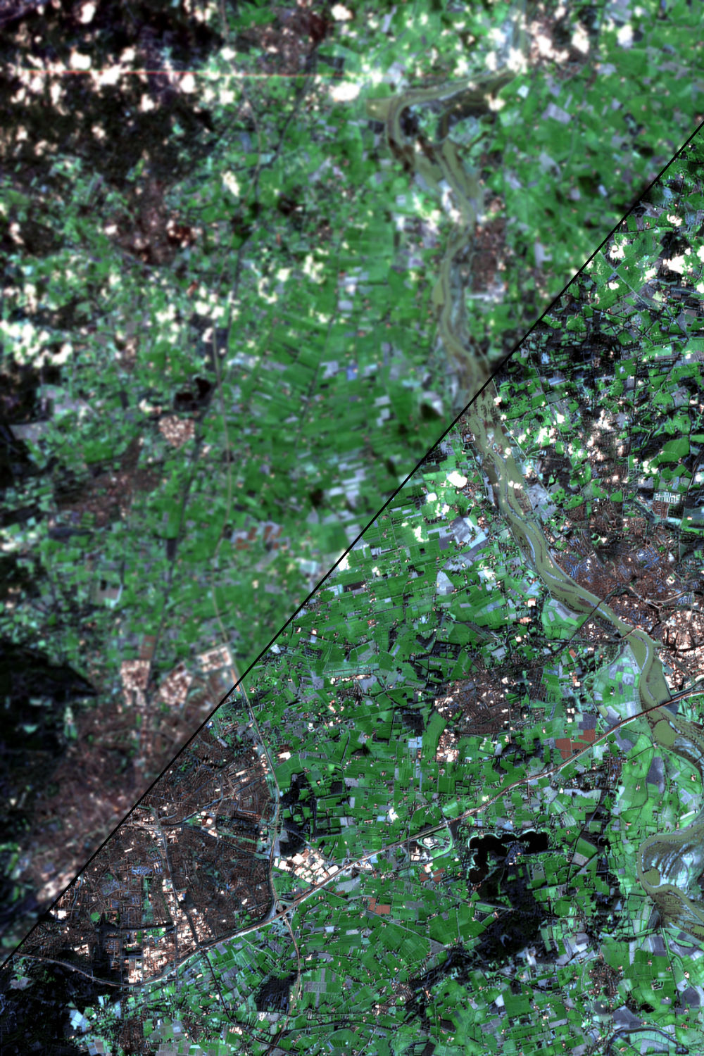
Our bespoke machine learning models enhance satellite data 6x.
That’s an instant 80% savings in data acquisition cost.

Start Today
Get on the right side of history.
Our API and a well integrated dashboard makes it easy to track the activities and progress of decarbonization initiatives, projects, and their effectiveness to help curb climate change. We have support for mobile phones, handheld tablets, and desktop computers.
Intelligent Data
We pick the most valuable data from spatial and high-resolution satellite data sources. You get the most relevant information.
Secure & Verifiable
We leverage secure cloud storage for your data. You get the correct type of alerts and actionable notifications at the right time.
Real Time
We provide real-time and near-real-time data with regular updates on the progress of sustainable global activities and projects.


This is going to be useful, not just in climate, but to anyone looking for geospatial data and expertise.
Founding Team
We are a team of technology product veterans specializing in geospatial data, precision agriculture, and data visualization.
We have built award-winning digital tools for physicians and teachers, helping companies and individuals benefit and lead happy lives.
We are now on a mission to help individuals and companies do their part to fight climate change.
-

Brajeshwar is on an adventure learning to build beautiful and meaningful products to improve the world for his daughters.
He started his entrepreneurial journey when his first company was acquired by a Silicon Valley company, Mixercast, in 2006. His next venture, oCricket, was acquired by Infinitely Beta (branded later as Helpshift), in 2009.
In 2010, he started Levoma, which exited to a Singapore Investment firm, Kamelot Kapital Pte Ltd, in 2013.
-

Amir specializes in Geospatial data. His scientific journey started when one of the most prestigious conferences in Geomatics accepted his paper on enhancing image processing computations. In his Masters, he worked with remote sensing data, 3D visualization of GIS data on top of satellite imagery.
While working with precision and data-driven agriculture at Resson, he created novel technologies for Fortune 500 clients.
He would love to shape the technologies that impacts and better the lives of people.